
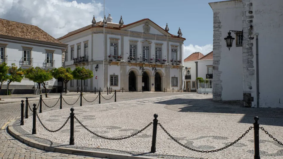
Faro is the only district that today maintains the red warning for strong wind, after the IPMA has desecrated other districts, which have passed the orange.
© ShutterStock
11/11/2026
by
Lusa
Faro is the only district that today keeps the red warning for strong wind, after the Portuguese Institute of the Sea and Atmosphere (IPMA) have unrecorded to Évora, Setúbal, Santarém, Lisbon, Leiria, Beja and Portalegre, which passed the orange.
The IPMA had previously put red warning to the districts of Évora, Setúbal, Santarém, Lisbon, Leiria, Beja and Portalegre until the end of today due to the passage of depression Charles.
These districts are now under orange warning because of the strong wind with gusts up to 120 kilometers an hour until 9:00 p.m. today.
The exception goes to Faro which is until 6:00 today under red warning due to the forecast of strong wind with gusts up to 120 kilometers per hour, and can reach 140 kilometers per hour in the most exposed locations.
Under red warning are also the districts of Lisbon, Setúbal, Beja as well as Faro are under red warning, the most serious, until 18:00 today and Leiria, Santarém, Castelo Branco and Portalegre between 12:00 and 18:00 today because of the forecast of strong and persistent precipitation.
Also because of the heavy rain, the districts of Viana do Castelo, Braga, Porto, Vila Real, Bragança, Aveiro, Viseu, Guarda, Coimbra and Évora are under orange warning until 21:00 today.
According to IPMA, the districts of Aveiro, Viseu, Guarda, Coimbra and Évora are also under yellow warning of the strong wind of southwest with gusts up to 90 kilometers per hour until 21:00 today.
Faro district is also under yellow warning because of thunder between 9:00 and 6:00 today.
The IPMA also placed the districts of Lisbon, Setúbal, Beja and Faro under orange warning due to strong maritime agitation between 12:00 and 9:00 p.m. today, then passing the yellow warning between 9:00 p.m. today and 3:00 p.m. Thursday.
The archipelago of Madeira is under orange warning due to the forecast of showers, sometimes strong, until 09:00 today and because of the wind with gusts up to 100 kilometers per hour, especially in the east and west extremes until 12:00 today.
The north and south coasts of Madeira and Porto Santo are under yellow warning between 9:00 and 9:00 p.m. today due to maritime agitation, predicting west waves with 04 to 4.5 meters, passing to northwest waves.
The red warning is issued by IPMA in cases of extreme risk weather situation. The orange warning indicates a moderate to high risk weather situation and the yellow risk for certain activities dependent on the weather situation.
Continental Portugal is on alert between 00:00 and 23:59 Wednesday, due to the possible worsening of the state of time with the arrival of depression Charles, it is expected that Lisbon, Leiria, Setúbal, Beja and Faro will be the most affected regions.
The government has decided to close non-essential schools and public services in all districts, and the authorities have admitted to closing bridges and air traffic restrictions.