
Madeira's Regional Civil Protection Service (SRPC) today warned of the worsening weather conditions due to the passage of depression Charles through the archipelago, marked by heavy rainfall, accompanied by thunderstorms.
© Shutterstock
09/11/2026
by
Lusa
O Madeira's Regional Civil Protection Service (SRPC) today warned of the worsening weather conditions due to the passage of depression Charles through the archipelago, marked by heavy rainfall, accompanied by thunderstorms.
Using the predictions of the Portuguese Institute of the Sea and Atmosphere (IPMA), the SRPC indicates that there is an “approach to depression Charles, centered west of the Madeira archipelago and moving east”, a worsening of weather conditions is expected in the Autonomous Region of Madeira from Tuesday afternoon.
According to the forecasts, at the level of precipitation, from the end of the afternoon of Tuesday there should be periods of rain or showers, sometimes strong and persistent, and may be accompanied by thunder.
“The most critical period should take place between the end of the 10th and the beginning of the morning of Wednesday, the 11th,” he adds.
As for the wind, it should be from the southwest, with an increase in intensity being expected, “suffering strong, with bursts that can reach 90 and 130 kilometers per hour in the highlands”.
“ From the morning of Wednesday, on the 11th, a gradual weakening of the wind is expected, which should blow from weak to moderate, sometimes strong, from the northwest”, the SRPC says.
Due to these adverse weather conditions, IPMA has put all the regions of the Madeira archipelago under orange warning, which represents a high risk.
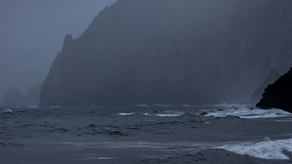
In turn, the maritime agitation will be, on the north coast and in Porto Santo, from northwest with 4 to 4.5 meters, decreasing to 3 to 4 meters from Tuesday.
On the south coast are expected waves of the south quadrant with 2.5 to 3.5 meters, increasing temporarily also to 4 to 4.5 meters on Wednesday.
The IPMA warning for maritime agitation is yellow.
In view of this weather situation, the SRPC considers that it is “expectable” to occur branches or trees falls, slippery road floor due to the possible formation of water sheets, floods and floods in urban perimeters, drainage difficulties in urban systems, and may cause flooding in historically more vulnerable sites.
Also gallging walls and slopes, possible accidents on the coast and increased road occurrences.
The SRPC also recommends that people avoid crossing flooded areas, adopt defensive driving, reduce speed and take care of traffic along the coast and historically vulnerable areas, as well as wooded areas and mountainous areas.
If you have additional information or images on this topic you want to share with us you can send to: