
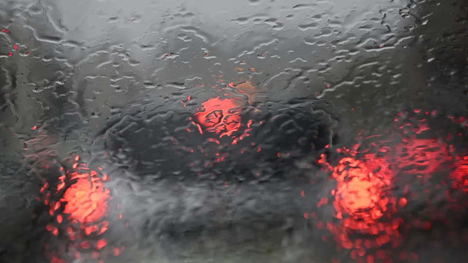
The bad weather scheduled for Wednesday should begin to reach mainland Portugal in the morning, with the regions most affected expected to be Lisbon, followed by Leiria, Setúbal, Beja and Faro.
© Horacio Villalobos#Corbis/Getty Images
10/11/2026
by
Lusa
ANDm statements to the agency Lusa, the meteorologist of the Portuguese Institute of the Sea and Atmosphere (IPMA) Bruno Café admitted that it cannot be excluded “a situation similar to storm Kristin”, which hit mainland Portugal in January.
“ It would be very bad luck to happen, but it cannot be excluded”, he said.
Bruno Café said that during today there will be a temporary calm and then it should worsen on Wednesday morning, although it is initially scheduled for the afternoon.
The meteorologist said that the possibility of red warning to Lisbon is not excluded.
The National Emergency and Civil Protection Authority (ANEPC) issued an alert on Monday night, asking the population to “evidence unnecessary movements during periods of greater intensity of precipitation and wind, adopting special caution in road traffic”.
It also asks the population to “make sure that it has alternative means of lighting and properly loaded communication equipment”, that it has “special care in the movement and stay close to wooded areas, being aware of the possibility of falling branches and trees” due to the strong wind and that “evit any activity close to water lines, especially in areas with a history of floods”.